The Landsat logo by NASA.

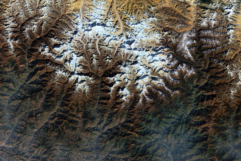
Launched by NASA and the USGS, Landsat-8 offers 30m resolution satellite imagery across the globe. Thanks to Soar, you can access it for free.

Launch SoarSample Imagery

Free & Unlimited
Downloads

We've integrated Landsat-8 imagery into Soar for you to access for free. Download any satellite image as a GeoTIFF file straight to your desktop, or send imagery straight to social media using a share link.

Karratha, Australia

Image anywhere
on earth

With Landsat-8 you'll be able to image anywhere on Earth at 30m/pixel resolution. Filter your imagery by date. There's a whole world waiting to be discovered.
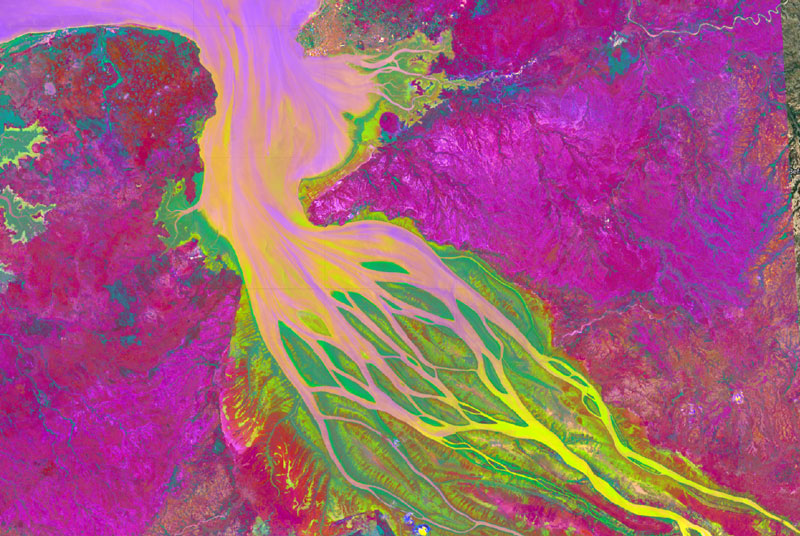
Namib Desert, Namibia

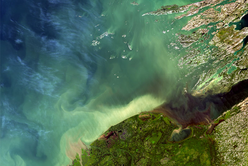
Sample imagery

Click to preview inside Soar

Factsheet

  • Orbit
    Altitude: 705 km
    Type: Sun-synchronous
    Period: 99 minutes
  • Design Life
    10 years
  • Mass
    1,512 kg
  • Sensor Bands
    Bands 1, 2, 3, 4, 8 (Visible)
    Bands 5, 9 (Near Infrared)
    Bands 6, 7 (Short Wave Infrared)
    Bands 10, 11 (Thermal Infrared TIRS)
  • Pixel Resolution
    Panchromatic: 15 m
    Visible: 30 m
    Thermal: 100 m
  • Scene Swath Width
    ‍
    185 km
  • Onboard Storage
    ‍
    3.14 TB
  • Revisit Time
    ‍
    16 days
  • Data Transmission
    ‍
    384 Mbps

Have questions?

We're here to help.
‍
Reach out to us anytime and you'll be contacted within two business days by one of our dedicated team members.
‍

Contact Us

Not happy with Low-Resolution?

Order new collect and archival 50cm high-resolution satellite imagery with SkyMap50 "click & collect".
Great prices, unbeatable value.
‍

Launch SoarSkyMap50
‍