
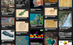
Explore over a million interactive maps covering history, world events, the environment, disasters and more.
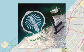
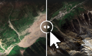
Search satellite imagery from today to over a decade ago.View areas over time and see more with simple satellite tools.
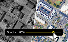
Use tools like the Opacity Slider to compare maps with modern imagery. Spot differences and changes over time.
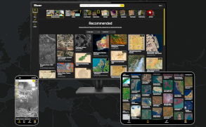
Unlike music and videos, maps lack a central place to discover, share, and explore them interactively.
Traditional mapping tools can be complex, making it difficult for everyday people to explore and understand maps.
Maps and satellite imagery are scattered and often require specialist knowledge or software to fully access them.


Much of the content on Soar is generated by our users. Anyone with maps and imagery can help contribute to this growing atlas of the world. Here's just a small selection of some of the great content you can find.
