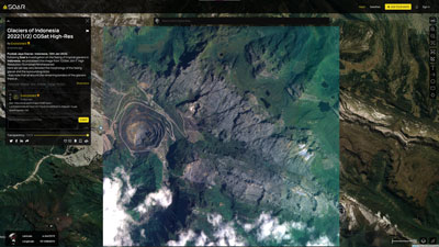
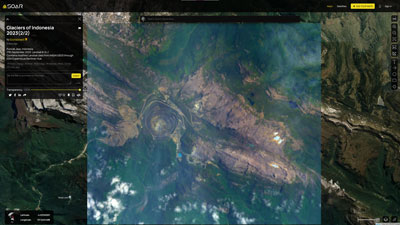
Recent high resolution image from CGSat, 12th January 2022. View the map on Soar
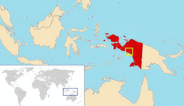
Location of the region. sourced from Wikipedia
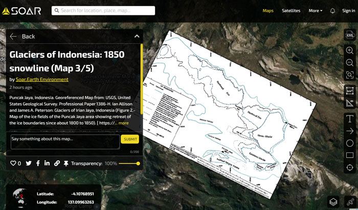
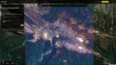
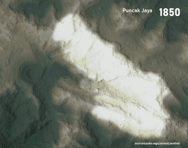
Snowline extent of Indonesian glaciers between 1800 and 1850 which probably covered at their width over 4km in width. View the map on Soar
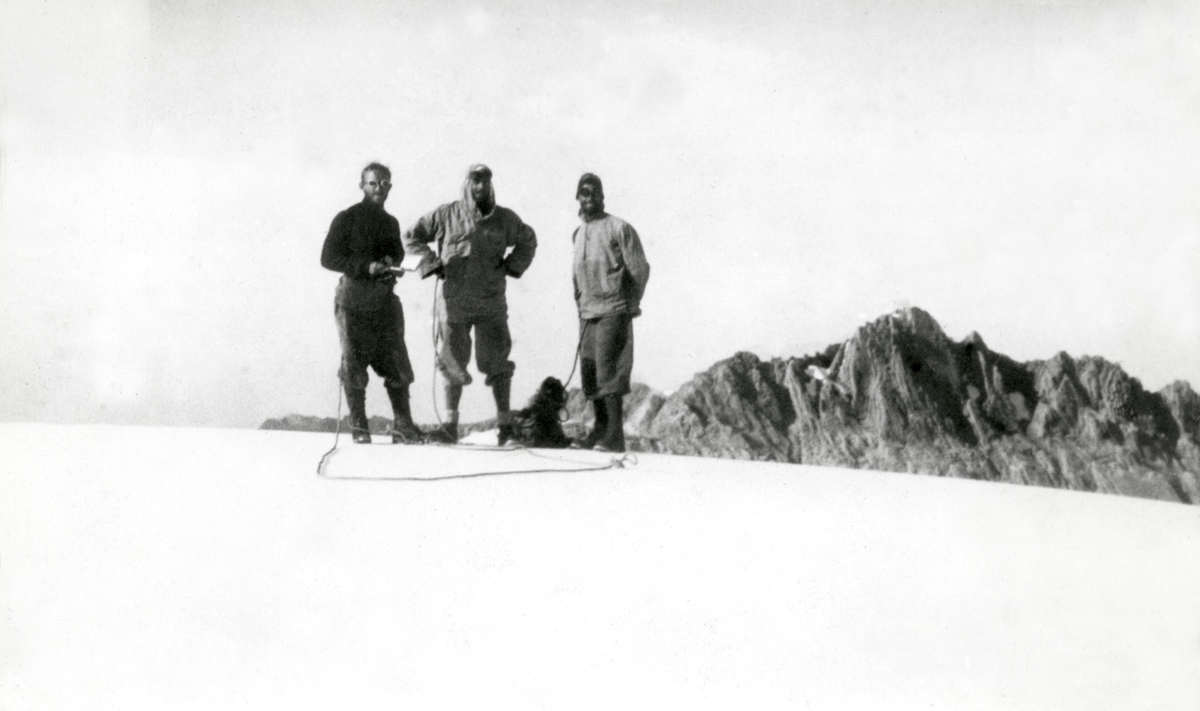
The Carstensz expedition in 1936 on top of the Carstensz glacier. Image source: Wikipedia.

A beautiful hand drawn map of Puncak Jaya made in 1936 as part of the Carstensz expedition. View the map on Soar.
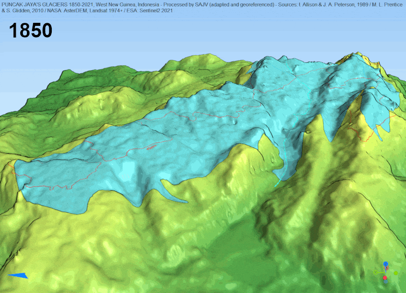
Animated 3D model of snowlines from 1850 to 2021 using SRTM DEM base data.
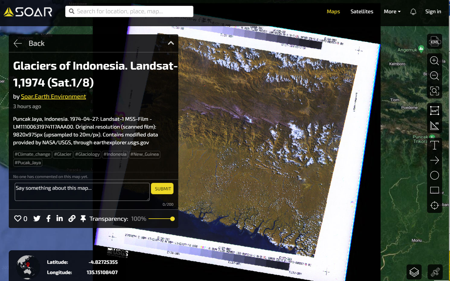
The first Landsat-1 full film image taken in 1974 showing the glaciers in the centre. View the map on Soar.
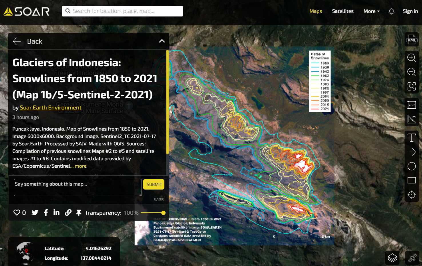
Snowline retreat between 1850 and 2021. See the map on Soar.