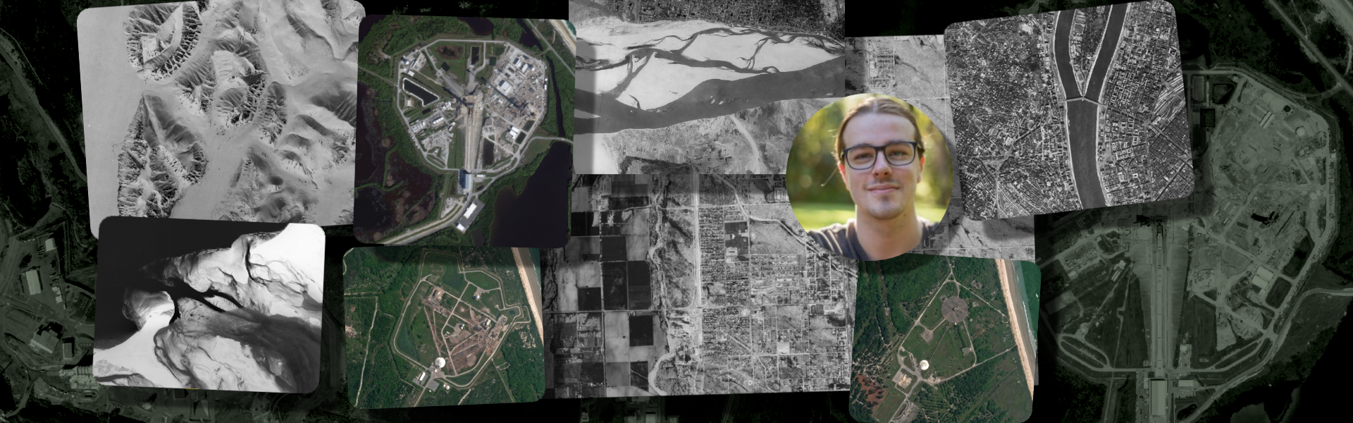

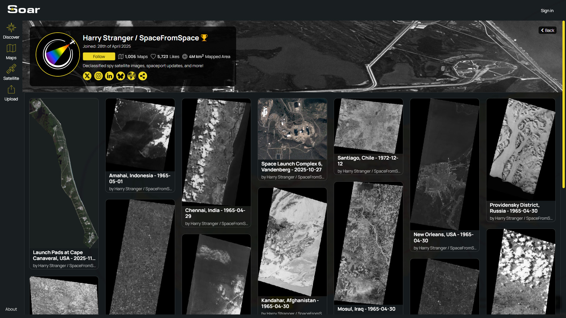
There’s a reason people are driven to share maps online. They let us show the world from a new perspective, and share a part of ourselves with others. Harry Stranger is one of those people, driven by a passion for maps, space, and documenting history. Recently, he hit a massive milestone, uploading his 1,000th map on Soar!
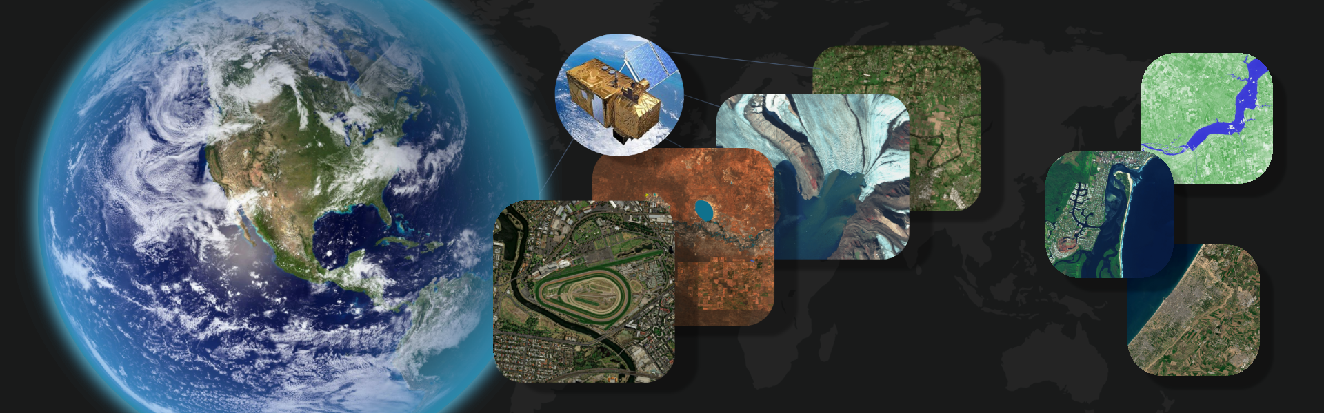
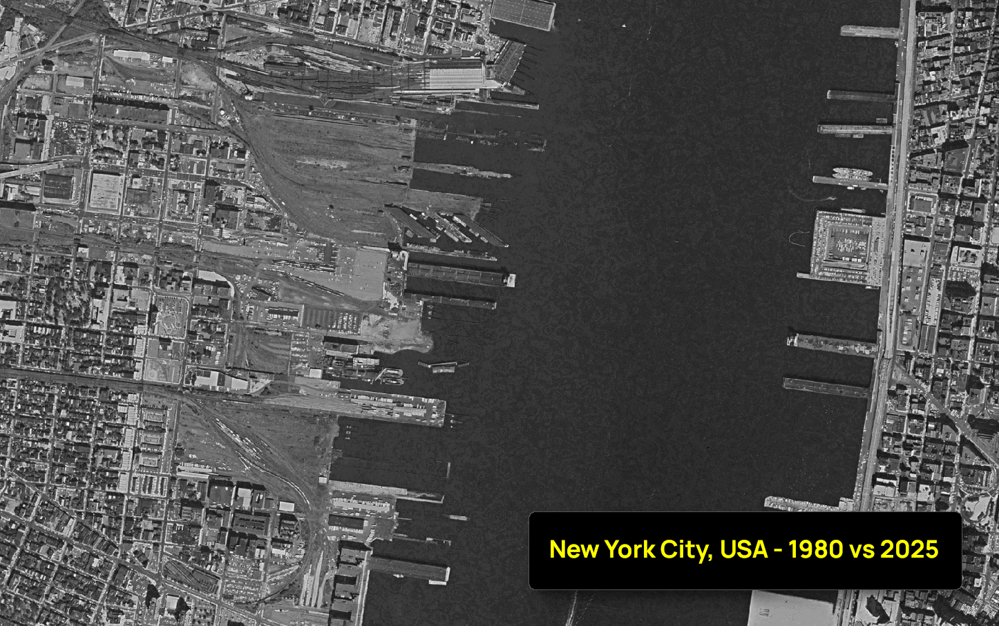
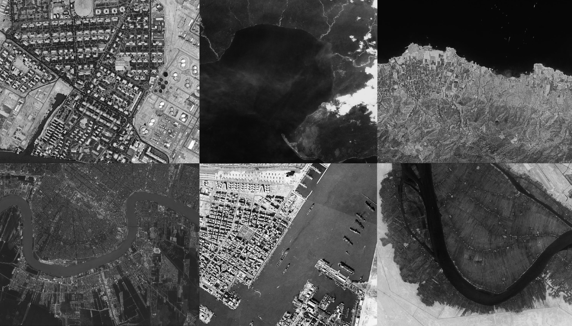
Harry’s contributions have been nothing short of inspiring. He’s best known for his remarkable archive of vintage satellite imagery, some dating as far back as the 1960s. Through these uploads, Harry has helped preserve decades of Earth’s history, all in a format that’s open, interactive, and accessible to everyday people.

It all started when Harry launched a personal GoFundMe, bringing the community together to try and make these old satellite images publicly available. Scanning this kind of data at full resolution was costly, and each image needed to be carefully georeferenced before it could be viewed interactively. Soar was the perfect home for that work, and we were proud to top up Harry’s GoFundMe, contributing the final $750 which helped him reach his $2,000 goal.
Since then, he’s continued to share incredible maps with the community and has become a big part of our shared mission: making maps more accessible, open, and enjoyable for everyone.
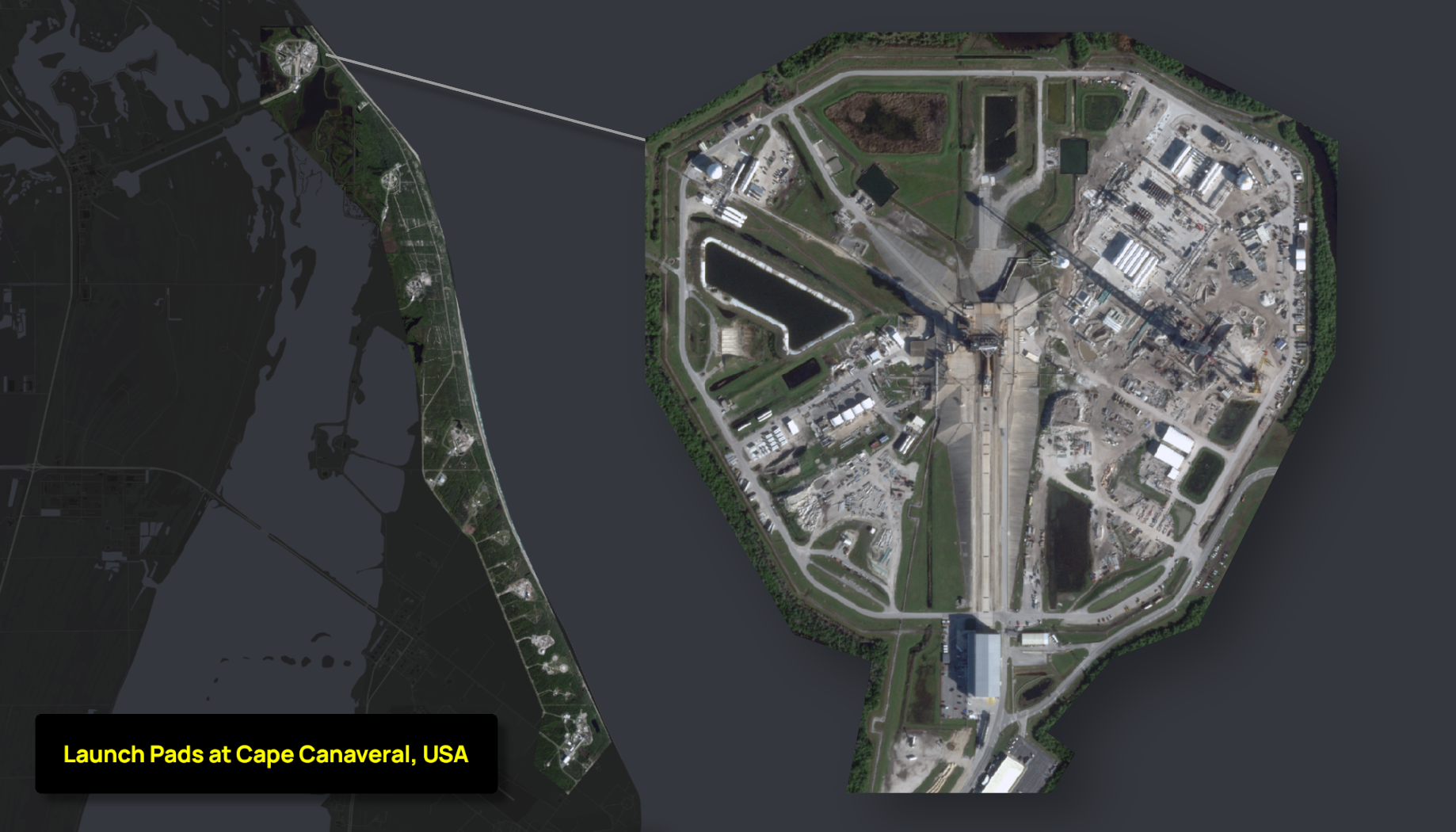
But that’s not all, Harry has also been a key figure in tracking global launch pads and SpaceX activity, sharing fresh satellite updates every few weeks. His passion for documenting our world (and beyond) has made Soar richer and more dynamic than ever.
How does it feel reaching 1,000 map uploads on your Soar account?
It’s definitely a big milestone! Honestly, it kind of snuck up on me a bit. I got into the groove of uploading several maps a week and didn’t realise how fast that number grew. It’s a good feeling though. Onward to 2,000!
What about Soar appeals to you as a creator?
Soar appeals to me because I can host my georeferenced satellite images and maps in an interactive format for my audience, and it doesn’t cost me anything, which is a nice bonus. It also features great community tools. Anyone who wants an interactive portfolio should definitely consider using Soar!
Do you have a favourite map that you’ve uploaded to Soar?
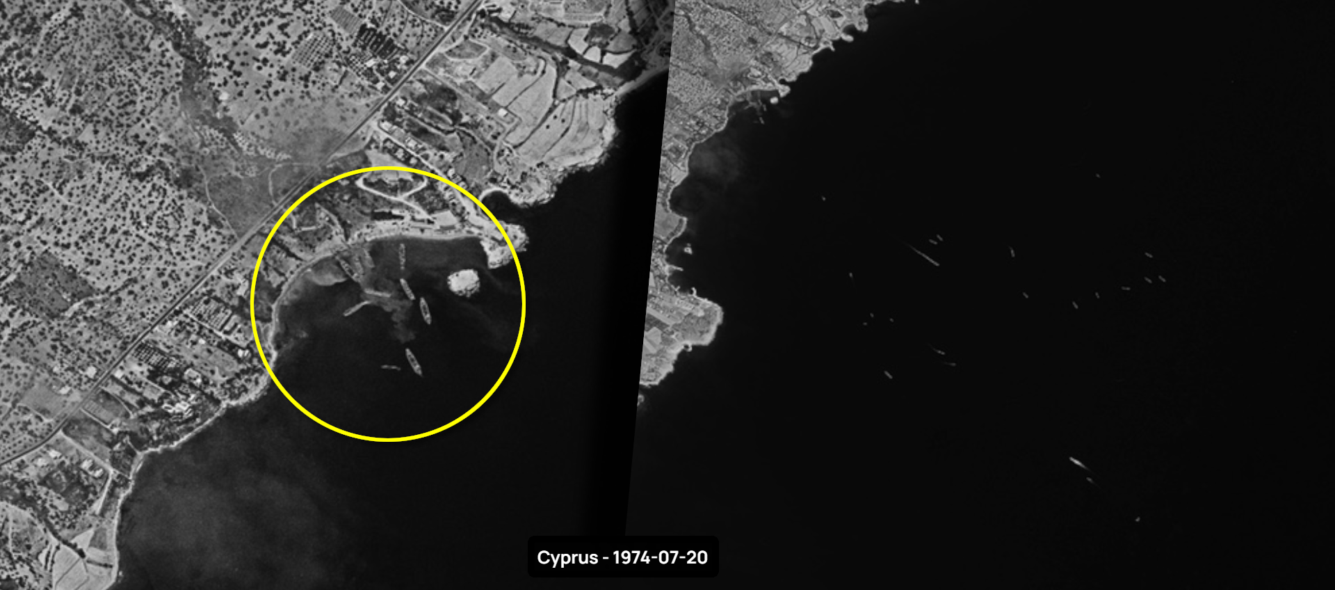
That’s quite difficult. I love the maps that tell a striking story. One that comes to mind is my map “Cyprus – 1974-07-20” because it shows Turkish forces landing in Cyprus, which is a historic event. The timing of that photograph is incredible.
What’s been your favourite moment seeing Soar evolve over the years?
The social features and the recently updated profile page have been a wonderful addition to the platform.
Any tips for other mappers aiming for the same milestone?
You definitely have to do it out of passion. I didn’t do this for a trophy or anything like that, I did it because I believe the content I share needs to be available for everyone to access.
Harry’s dedication embodies what Soar is all about, passionate creators sharing the story of our planet, and themselves, through maps. So please take a moment to visit Harry’s profile and show him some love by following his work.
Disclaimer: This blog (and its screenshots) reflect Soar version 6.4. The interface and functions may differ in newer versions.