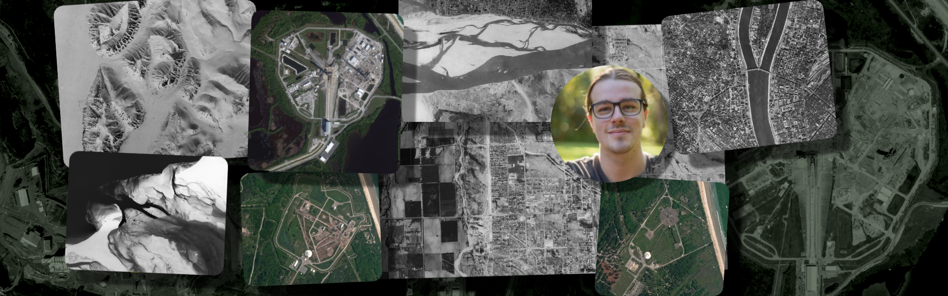

Over the past few months, we’ve been working with a team of talented experts with more than 20 years of geospatial experience to build a brand-new aerial project designed to capture and distribute ultra-high-definition imagery, and today we'd like to share some details.
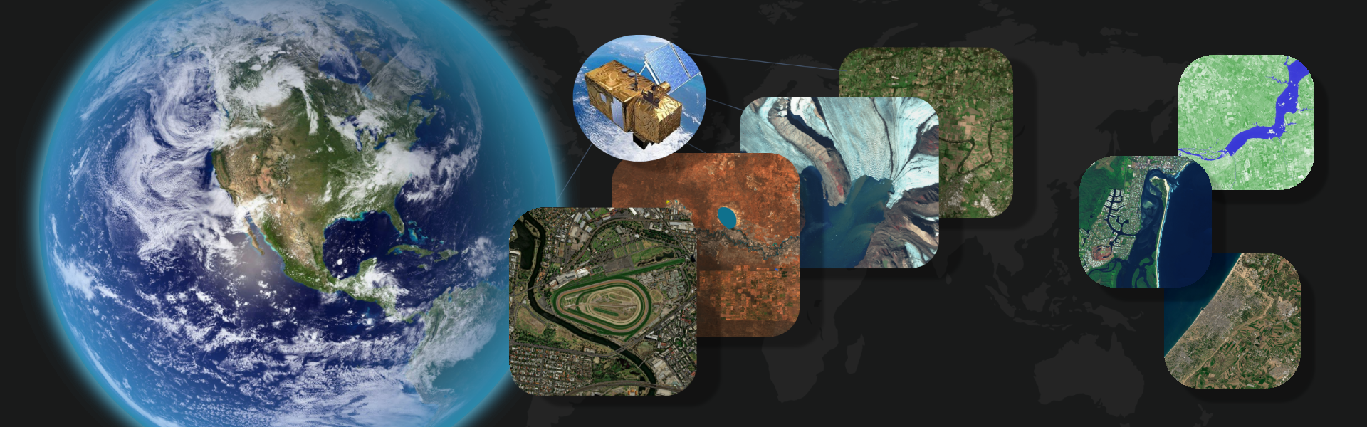
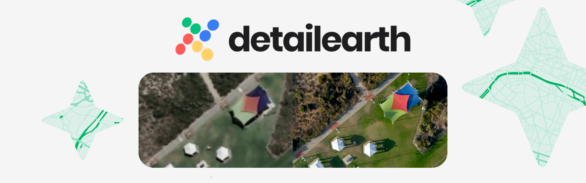
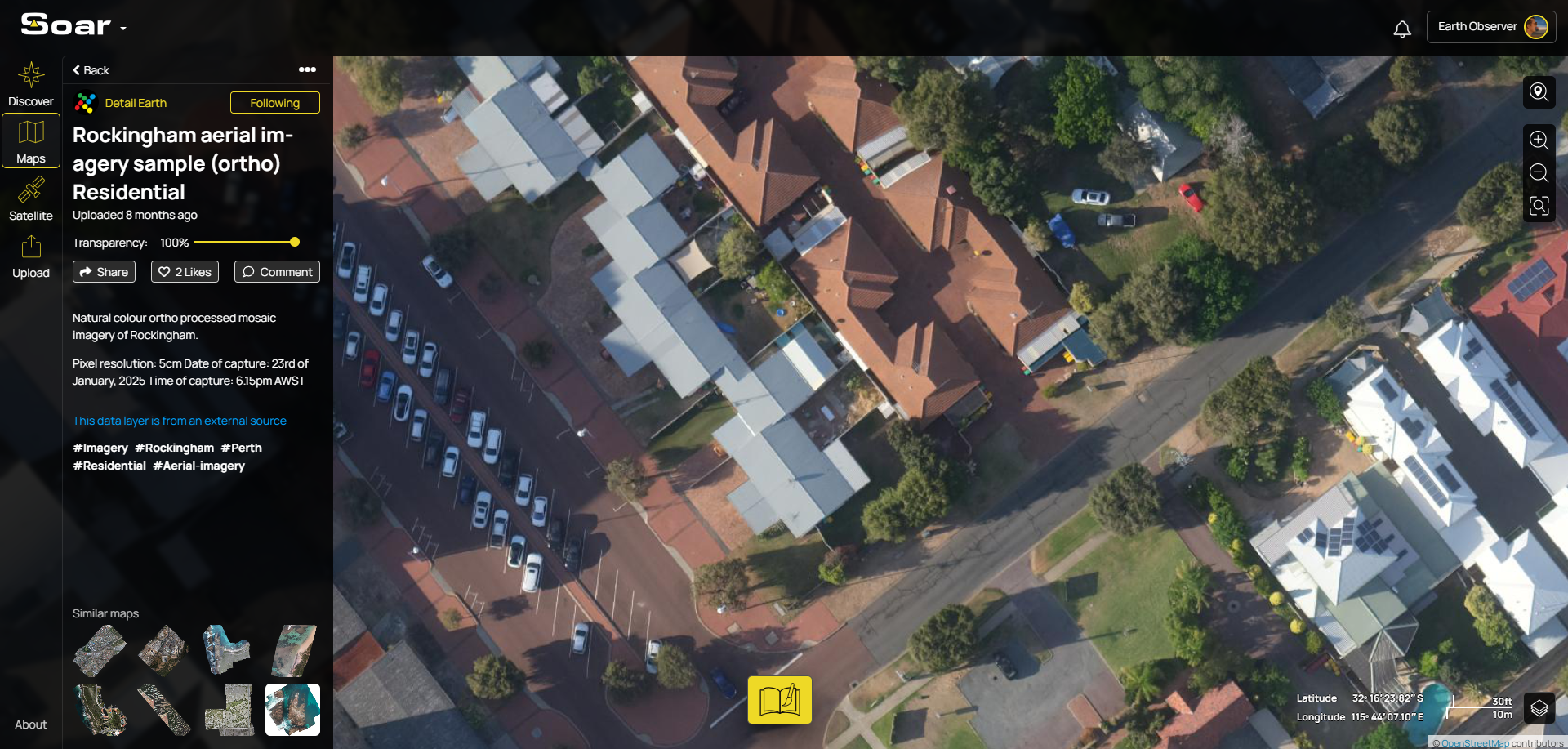
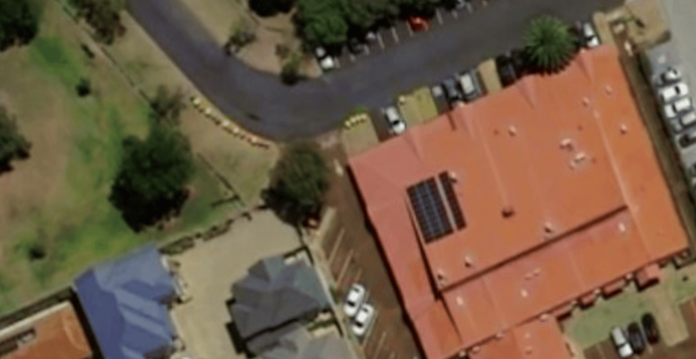
Detail Earth is a next-generation aerial imagery initiative set to cover the Asia-Pacific region. Using state-of-the-art camera systems mounted on aircrafts, Detail Earth will capture select areas of Australia and South-East Asia in unprecedented detail, down to 5cm per pixel. That means truly ultra-high-definition maps!

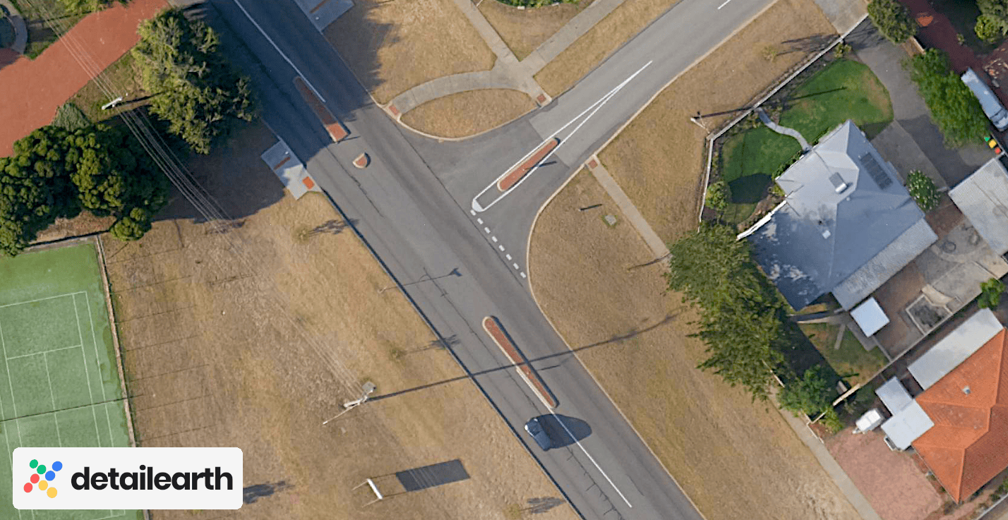
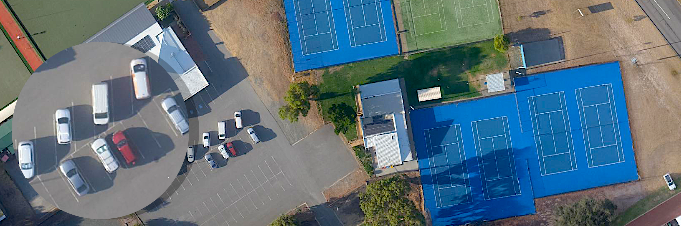
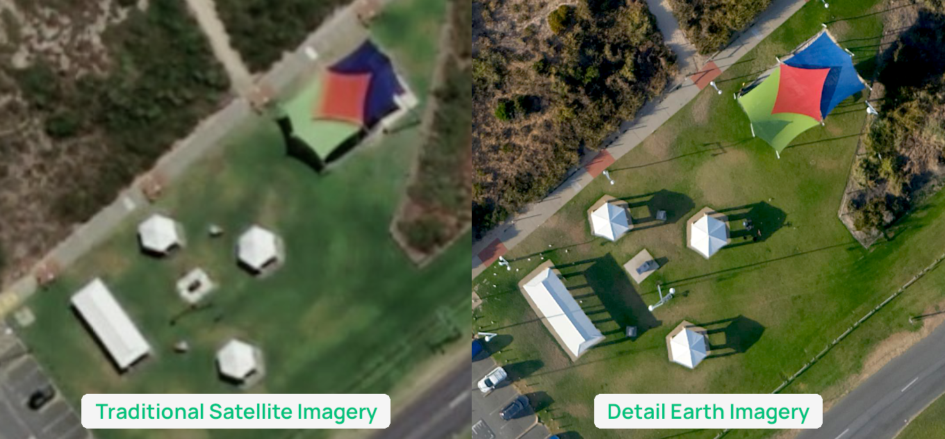
While satellite imagery varies in resolution and often misses fine-grained objects, Detail Earth imagery is crisp, colourful, and incredibly accurate. You’ll be able to see things like powerlines on poles, the shape of individual cars on the road, and the textures that traditional imagery often blurs out. The difference is night and day!

Many areas over the capture regions have never been mapped with this level of precision. The possibilities are huge, from government planning and council operations to insurers, real estate, and infrastructure assessments. But beyond professional uses, we think there’s something exciting for everyone. We hope it sparks curiosity from mapper, as well as everyday people who simply want to discover parts of the world that have never been shown this clearly before.
Detail Earth is working closely with us to host all imagery directly on Soar, making it easy for anyone to view, explore, and share without downloading or installing anything!
But you don’t have to wait to get a taste, our first sample captures over Rockingham from our Western Australian home are already live on Soar! 👇
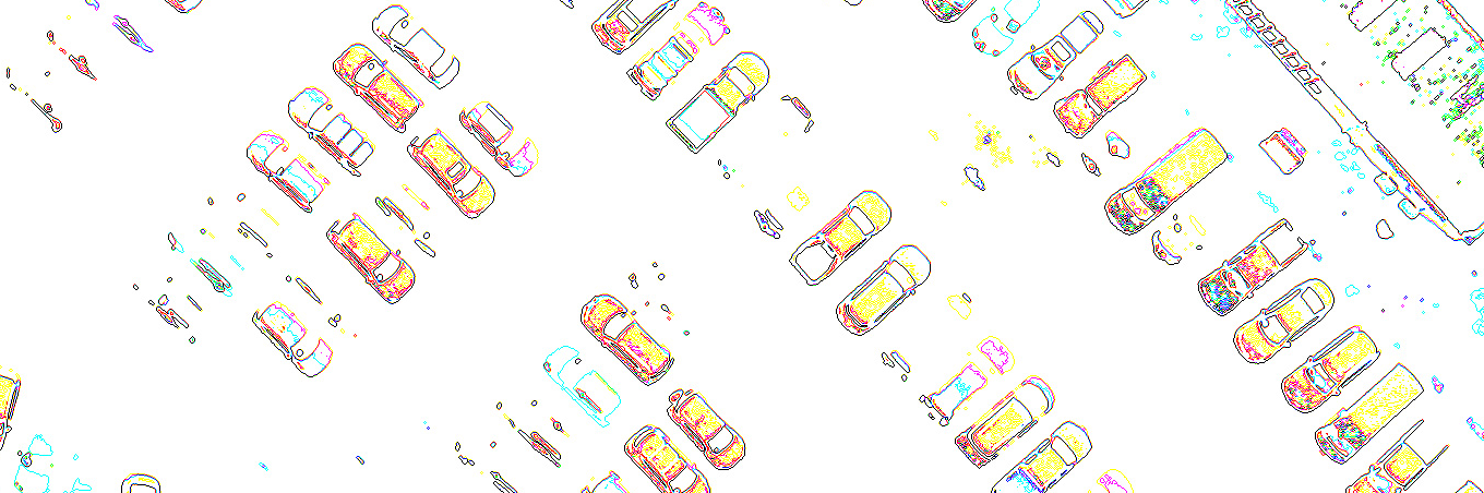
What's more, Detail Earth comes with a built-in AI copilot, working like ChatGPT, to help you analyse scenes, take measurements, count cars, extract data, and uncover insights.
A project of this scale wouldn’t be possible without the support of FundWA, whose backing, including a $1.5 million raise, is helping bring Detail Earth’s technology, flights, and processing pipeline to life.
This is a milestone moment, not just for mapping. It's inspiring to see an initiative of this scale emerge from Perth. Bringing world-class aerial mapping technology to life right here at home is something we’re genuinely proud of.
With flights booked, equipment ready, and the processing pipeline being built right now, we can’t wait to bring this new level of clarity to everyone.
We’re thrilled about what this means for the future of mapping and hope you'll join us and be part of it too!
You can read the official press release for today’s announcement here, and visit the website to learn more.
Detail Earth is now accepting early waitlist applications, so make sure to secure your spot!
Disclaimer: This blog (and its screenshots) reflect Soar version 6.4. The interface and functions may differ in newer versions.