
What a massive month. From game-changing new satellite tools to critical updates on the Iran conflict, we’ve got a ton to show you.
Let's drop right in! 🚀

Tired of foggy, washed-out satellite views?Until now, our default ‘True Color’ filter tried to mimic human vision, but atmospheric haze still left images flat and blurry. Not anymore.
We’ve officially upgraded our default view to ‘Dynamic True Color’, cutting through the haze so you get sharp, instant clarity.
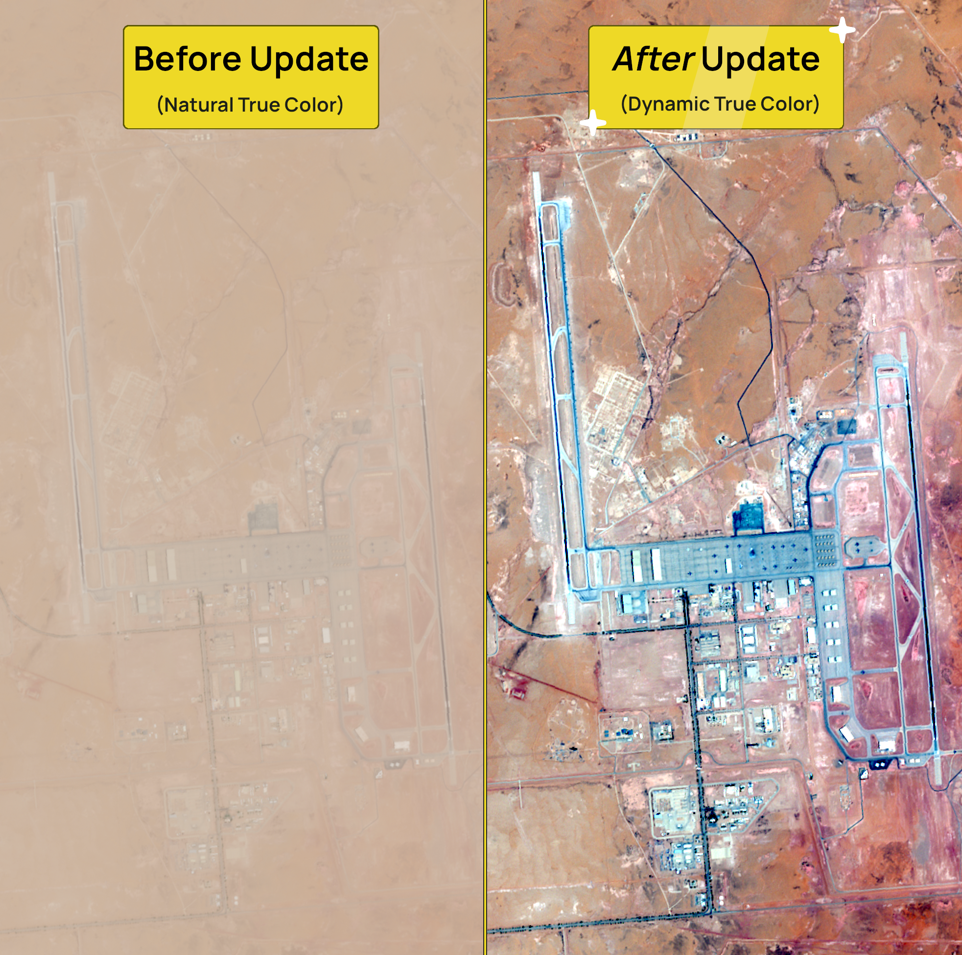
We expect this filter to be a game-changer for your workflow:
- Instant Clarity: Built-in haze reduction and enhanced contrast cuts through the fog.
- Spot the Unseen: Fine details like subtle terrain shifts, water boundary changes, and vegetation lines pop off the screen.
- Faster Insights: You spend less time squinting to interpret a location and more time analyzing what matters.
Take Trout Lake, for example. Where atmospheric haze previously flattened the landscape into a washed-out blur, the new ‘Dynamic True Color’ filter brings out crisper variations and distinct topography.
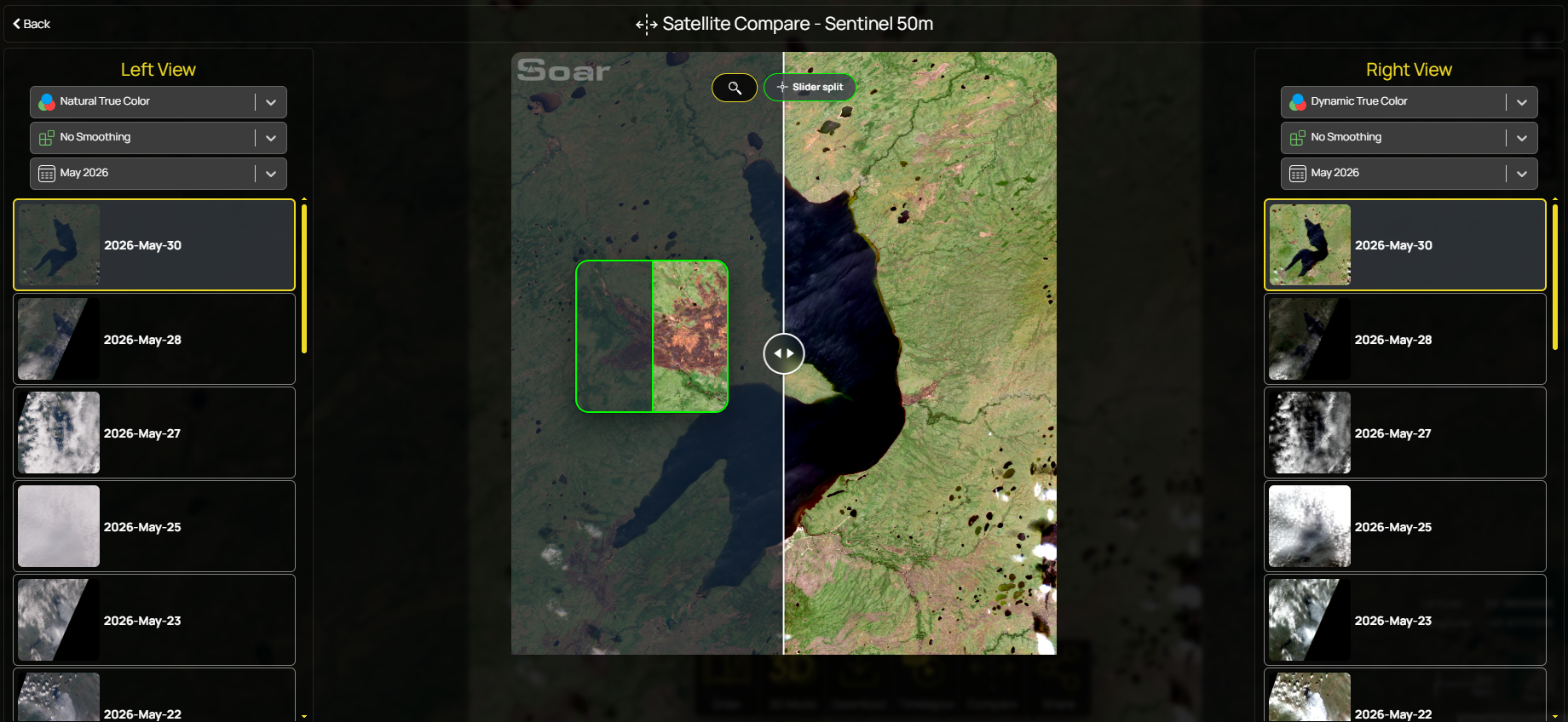
Of course, each area is different so depending on clouds and other conditions, you might prefer the minimally processed imagery used previously. It's still available just under the default filter as ‘Natural True Color’. This version stays much closer to the satellite's original output and can be useful when you want a more accurate representation for analysis or comparison.
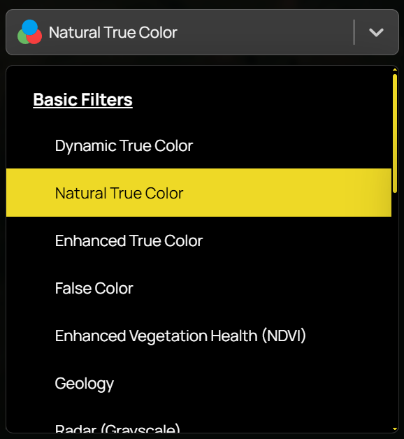
Try the new Satellite Imagery filter 🔍
Mappers, analysts, and major global news agencies are relying on Soar every day to track developments in the Iran conflict.
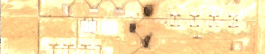
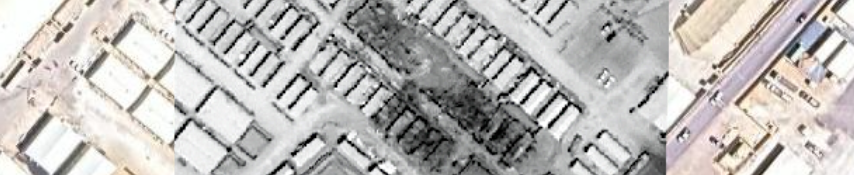
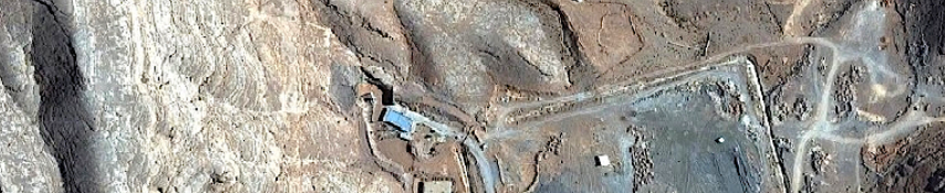
Thanks to our active community, we've documented the latest developments using Soars powerful tools. Below are recent maps detailing key events on the ground:
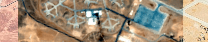
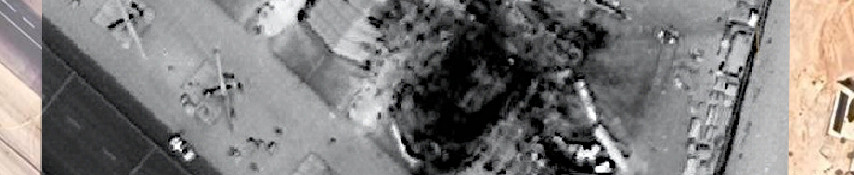
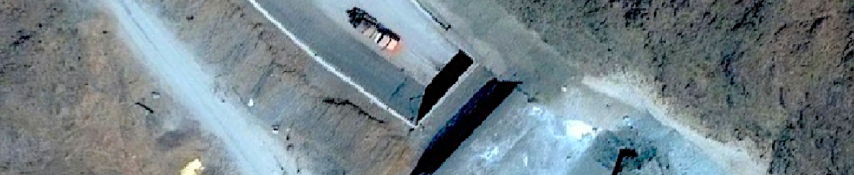
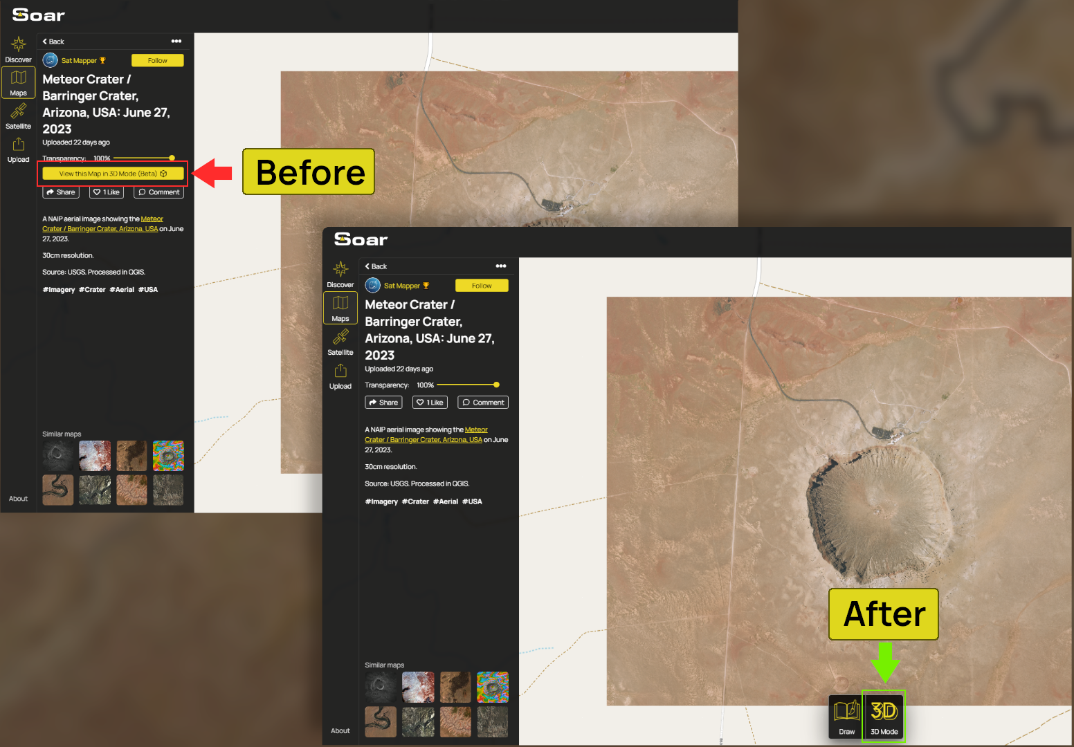
Whenever you're viewing a map or satellite image, the Action Bar puts the most useful action tools front and centre. Jump into 3D Mode, create a GIF timelapse, download imagery, share your view, compare dates or draw over your map.
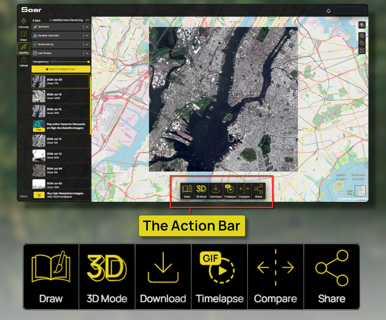
You asked, we delivered! The community reaction to 3D Mode has been huge, but we know finding the toggle was a bit of a treasure hunt.
Not anymore. Thanks to the new action bar, exploring your maps in stunning 3D is easier than ever to jump into. 💥
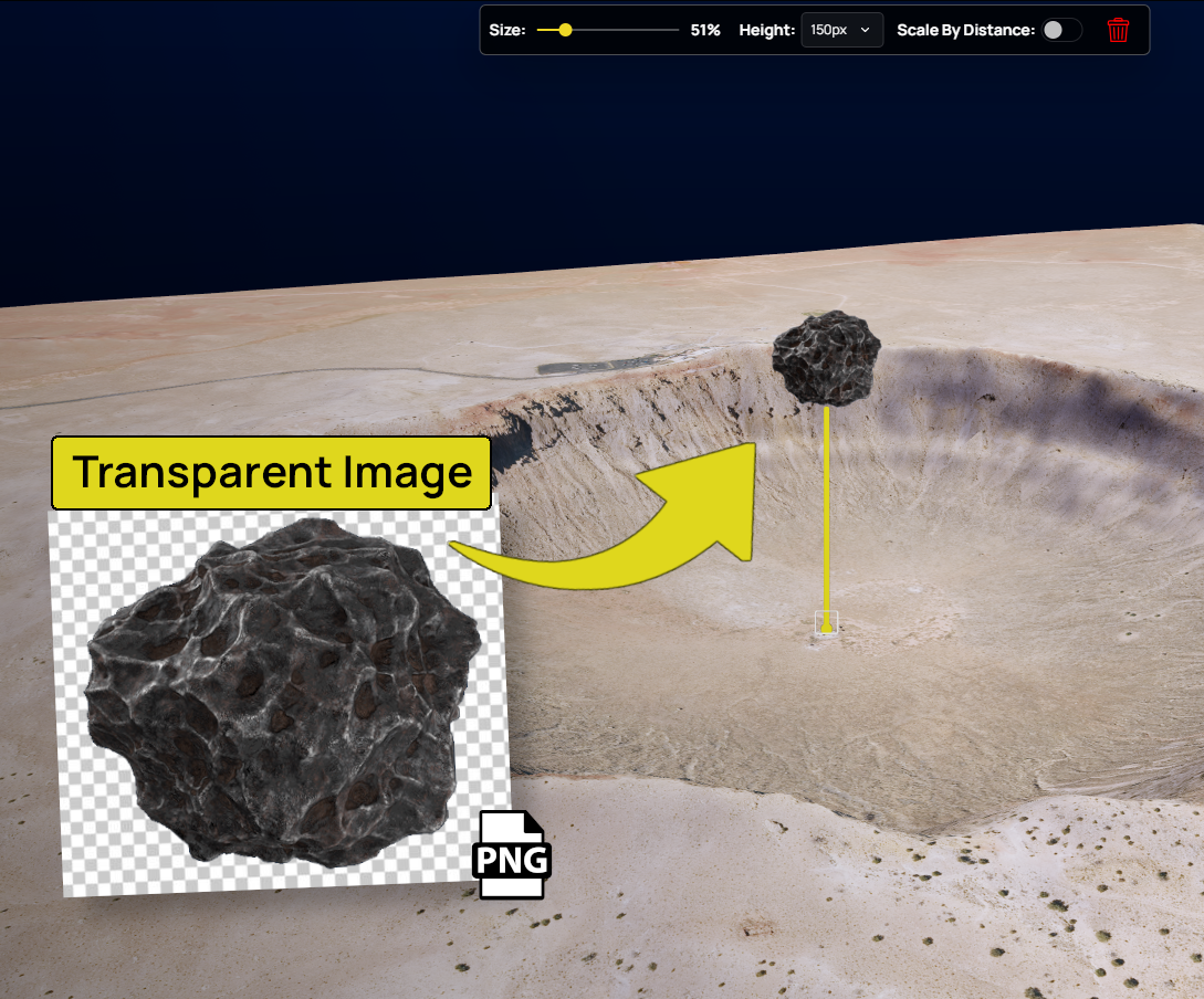
Ditch flat maps. 3D brings your spatial storytelling to life with maximum depth and real visual punch. With our latest release you can now insert images directly into your projects.
Add in photos, logos, custom markers, legends, and diagrams to add rich context, make key details pop, and tell a complete visual story.
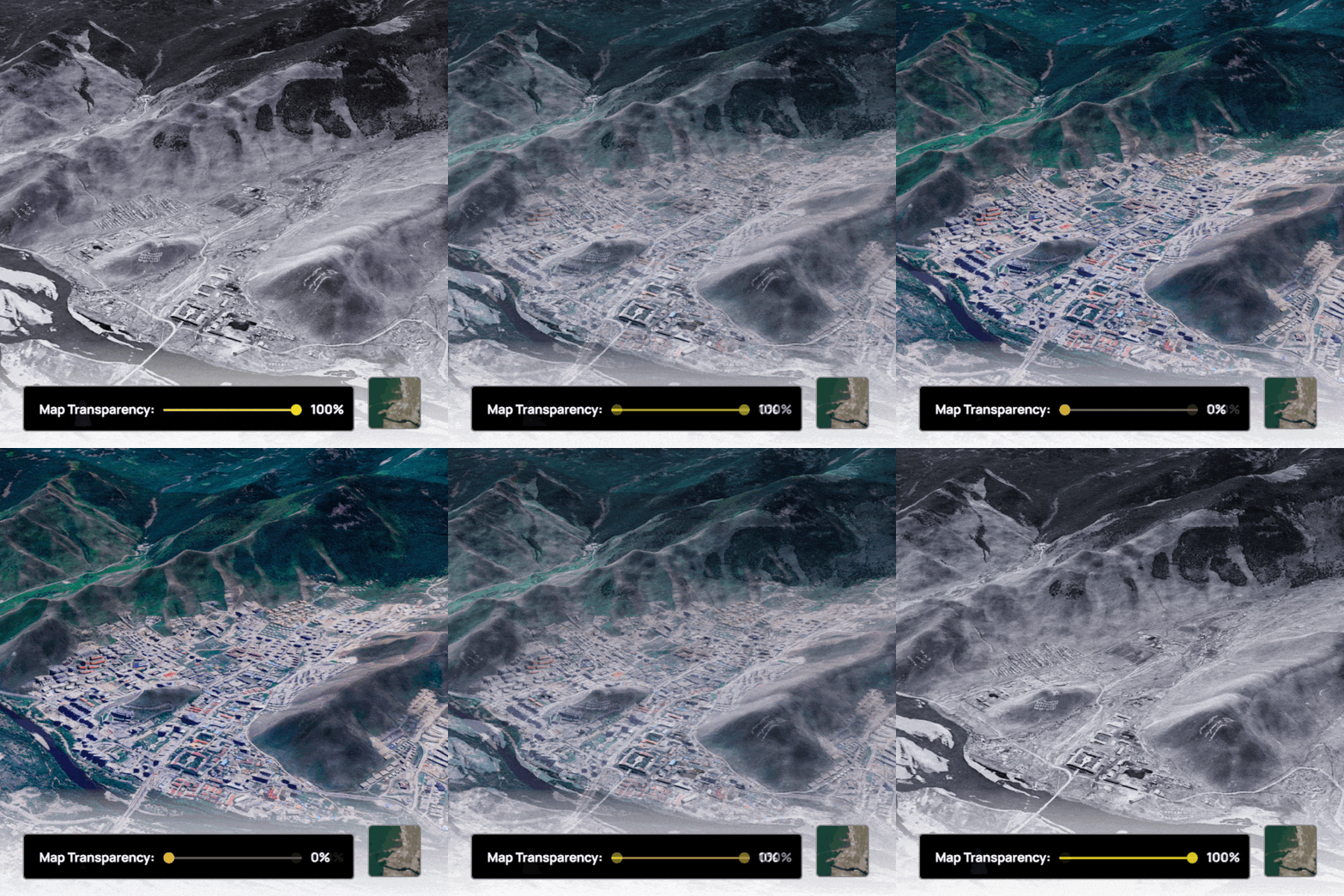
You can also now toggle the basemap on and off while viewing any map in 3D. Compare historical maps with today's landscape, or switch to the basemap for a higher-resolution view when free satellite imagery doesn't provide enough detail. Pair it with our built-in recording tools to create smooth before-and-after flyovers and bring your maps to life.
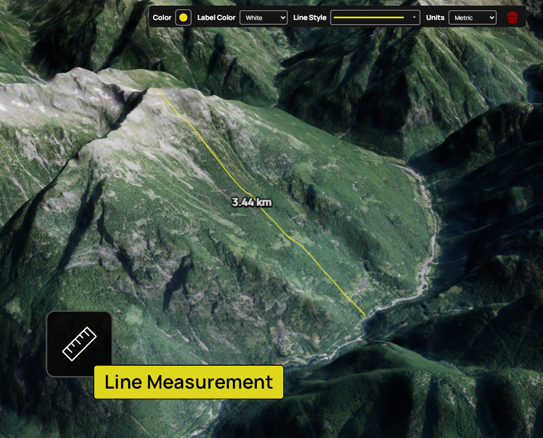
We've added a line measurement tool to the Canvas Draw which lets you accurately measure areas directly in 3D Mode. Whether you're estimating the size of a wildfire, measuring a construction site, or calculating the footprint of a building, you can now view them in 3D!
These are just the latest improvements as we continue expanding 3D Mode. Give it a try!
That’s all for this edition of Map Mail 👋 Please let us know what you think of the new tools and look forward to more updates coming soon. Until next time!