
Welcome to another Map Mail mappers! 👋 2026 has officially arrived, and we’ve already got plenty happening on Soar. Let’s jump straight in.

We’ve launched a dedicated Journalist Resource Page to help reporters, bloggers, and investigators tell evidence-backed stories. Soar supports journalism with credible free satellite imagery, map discoveries, and visual evidence, all through an intuitive interface anyone can use!
You can quickly create animated timelapses that reveal change over time, becoming a perfect tool for documenting fires, conflicts, and natural disasters. You can even embed maps directly into your articles, giving your readers an interactive viewer without having to leave your website.
If this sounds useful, we’d love to hear from you. Reach out anytime or book a demo to see how Soar fits into your reporting workflow.
Learn More and Book a Demo on our Journalist Page Here! 👈
We’ve released a new video that walks through how Soar’s Satellite tab makes viewing imagery fast and simple. Feel free to share it with friends, family, or anyone who might enjoy seeing the world (or their hometown) from above. Take a look!
Free satellite imagery is great, but for deeper investigations it sometimes doesn’t give you the level of detail you need. That’s why we offer high-resolution imagery you can purchase. We’ve been working on a new (and slightly addictive) way to unlock discounts on that imagery: a mini-game built right into Soar!
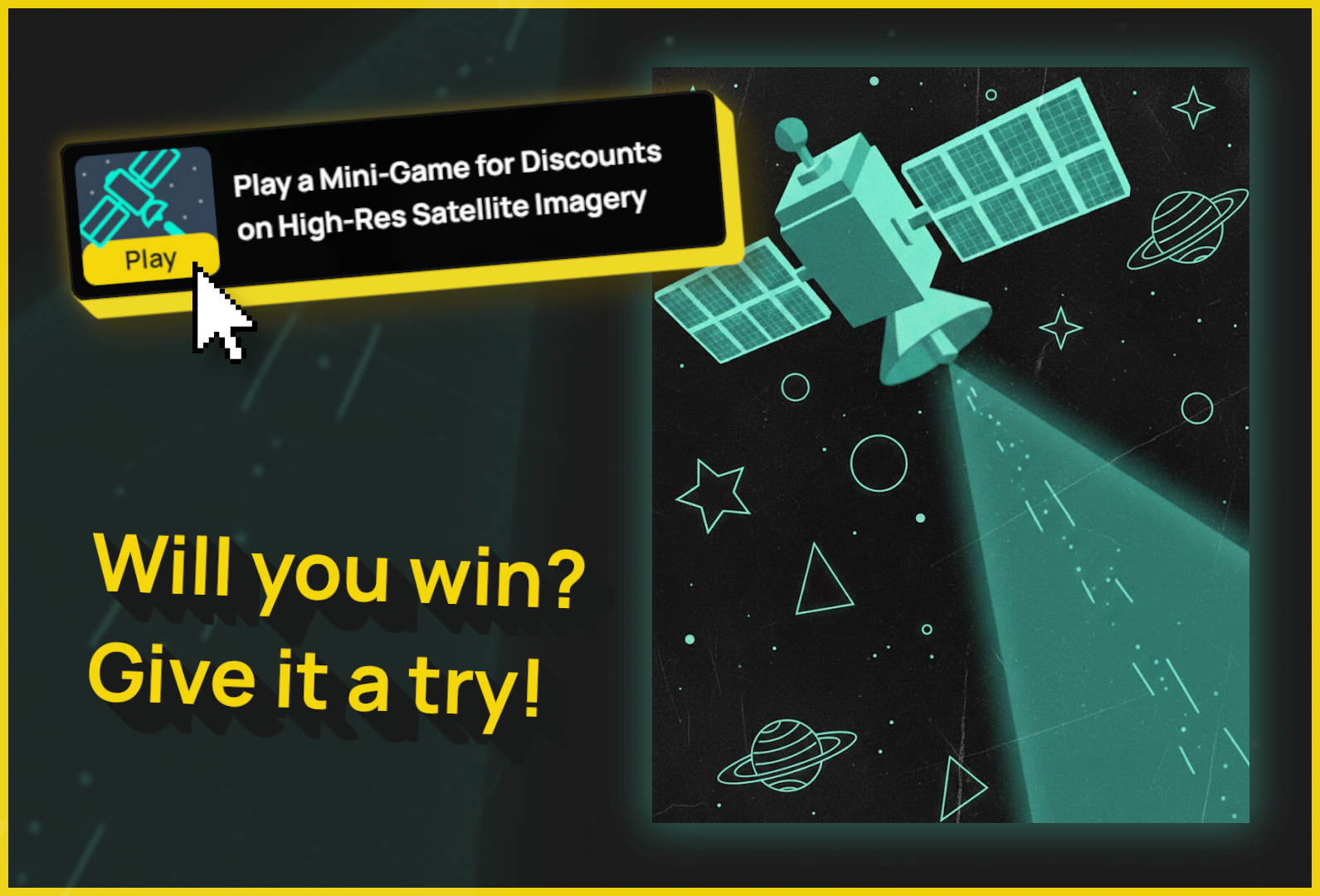
Head to the Satellite tab and you’ll spot a new button after drawing your area. Your goal is simple, make as many connections as possible before the timer runs out. Hit the right score, and you could unlock a discount to use for cheaper high-resolution satellite imagery. Think you've got what it takes? Give it a go, and send us your high score.
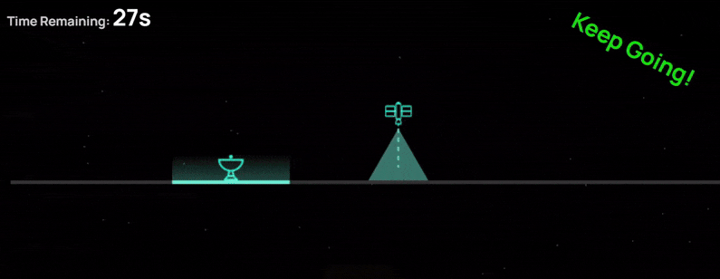
Play the Minigame to Unlock Discounts Here! 👈
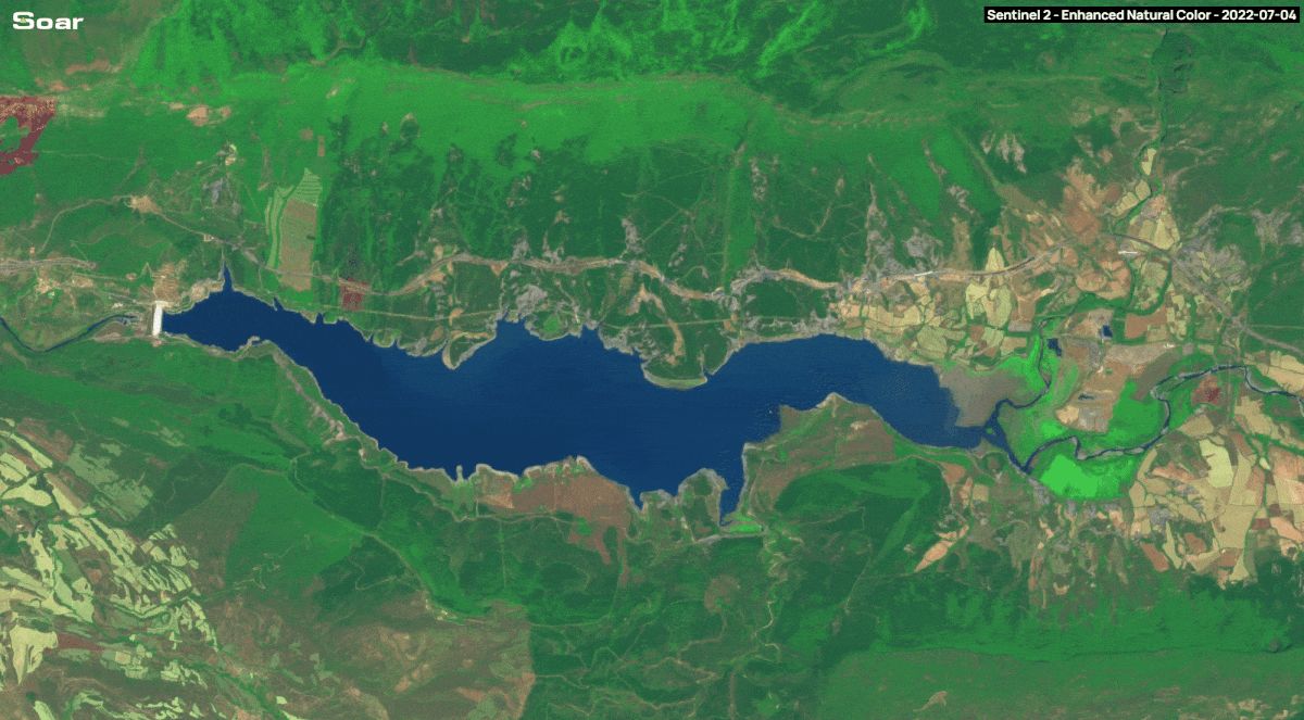
You asked for more control over how satellite imagery is processed, so we've added a dropdown that lets you switch between smooth imagery and a crisp, pixel-perfect view.
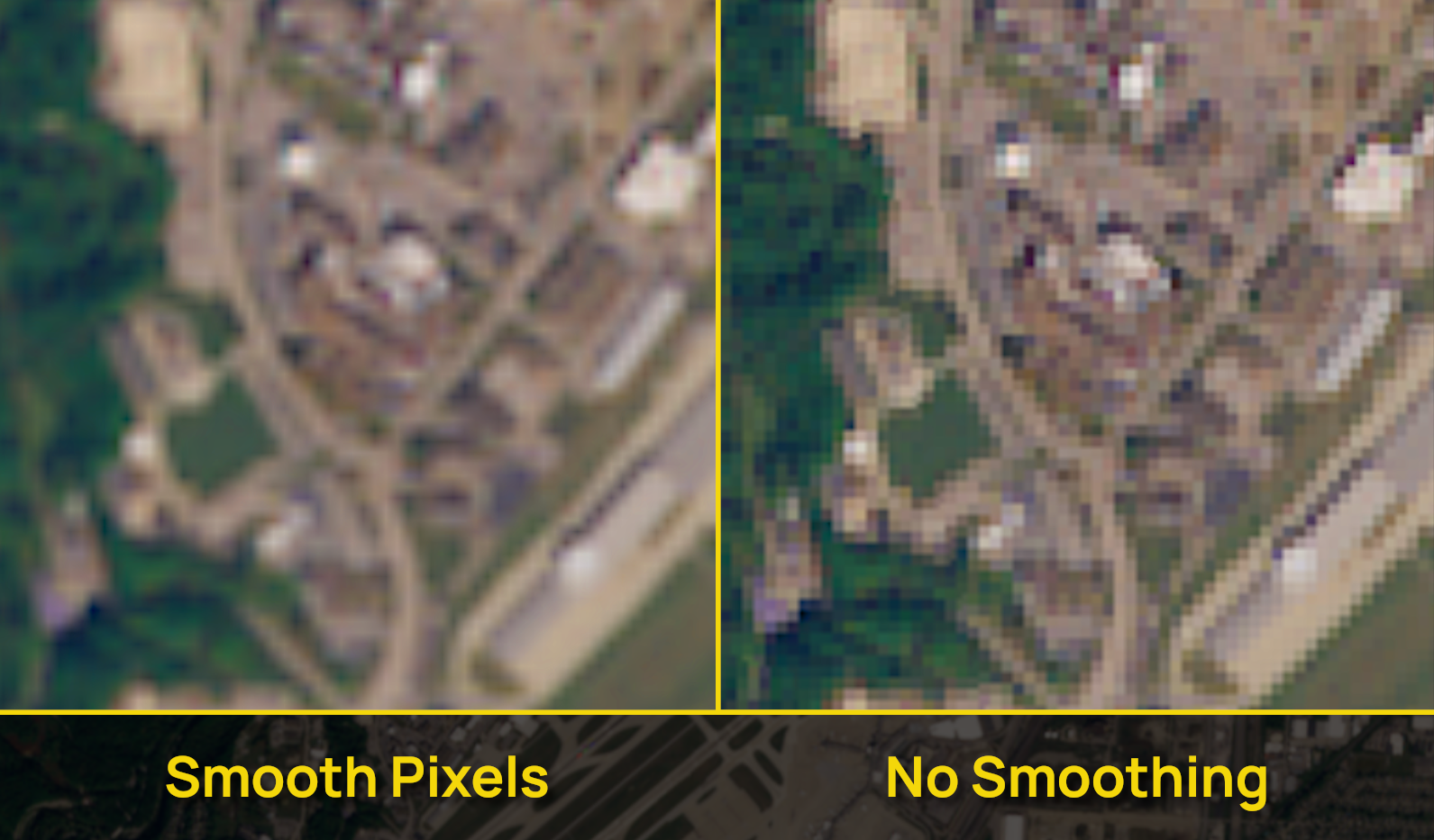
See the Difference, Try It Here! 👈
Smooth Pixels are the default choice, but when you’re analysing very fine details that only occupy a few pixels, No Smoothing can make those features easier to spot. We hope this makes your workflows even smoother.
The year has kicked off with more community maps added to Soar, from icy snapshots of current snowstorms across America, to wildfires in Chile, and even striking farm artwork in Australia. If a map catches your eye, don’t forget to like and follow the creators work!
-2026 USA Winter Storm Areal Imagery
-Australia Day Farm Art Harrison Schuster
-Smoke from Wildfires in Chile
-Mosaic from Arabian Sheild Exposure in Saudi Arabia
-World Trade Center September 23rd 2001
-Launch Complex 39 + SLS Rocket Rolling Out
That’s it for today! We hope 2026 is off to a strong start for you, and we’re excited to keep building and growing alongside this community. Thanks for reading this edition of Map Mail! 👋